 English
  Español
With the interactive digital maps, the coffee sector will know the trend of the soil properties of the mountain ranges Cacahuatique, Alotepec, Bálsamo-Quezaltepec, Tecapa-Chinameca, Apaneca-Ilamatepec and Chinchontepec.
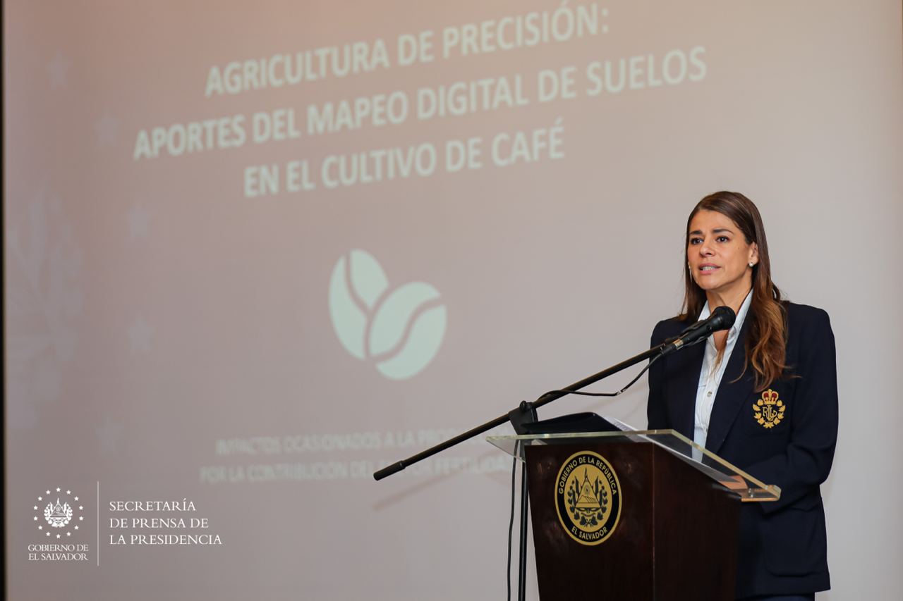
The interim minister of MAG, Enrique Parada states that a very good part of the soils of El Salvador have a high concentration of acidity, according to studies carried out. This must be taken into account for cultivation.
He said that this tool is available for everyone to consult and will be of use to coffee growers, cooperatives, beneficiaries, extensionists, researchers, students and decision makers.
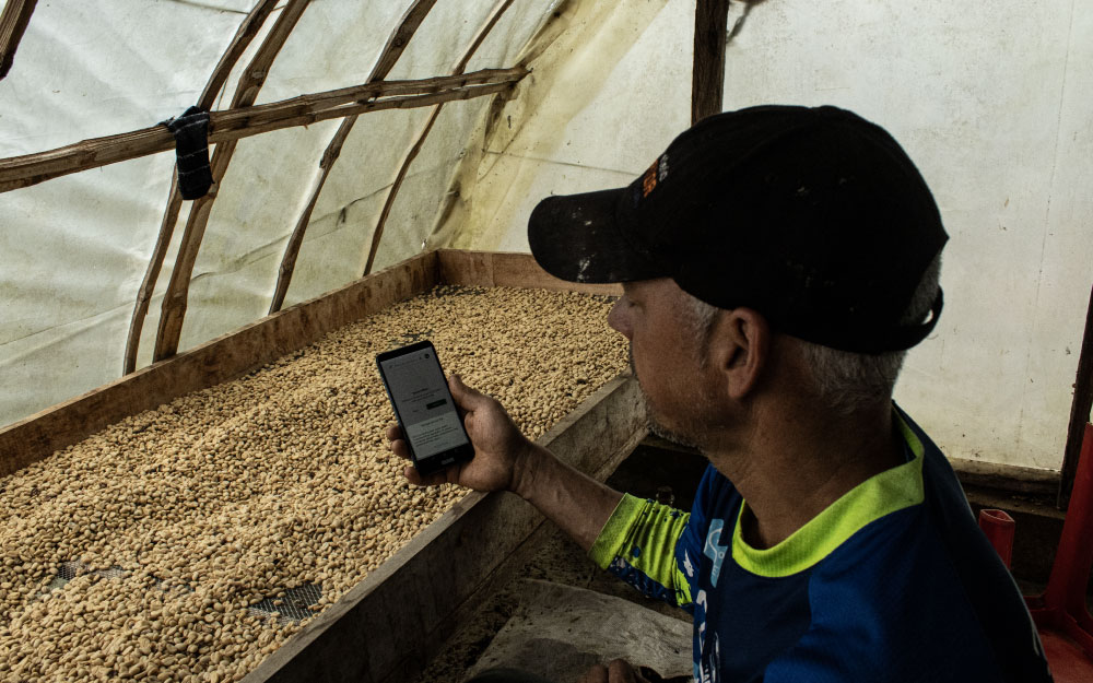
The executive director of the Centro Nacional de Tecnología Agropecuaria y Forestal (CENTA) Edgardo Reyes, said that for the development of the tool soil sampling was done and informs farmers can access the maps through the site http://centa.gob.sv.
In addition, the head of MAG highlighted the support of Catholic Relief Services (CRS) for the elaboration of the maps.
Likewise, CRS representative, John Briggs, supported the implementation of the tool and expressed that the generation of these maps, whose platform will be made available to users, is the result of years of systematizing information on soils in El Salvador.