 English
  Español
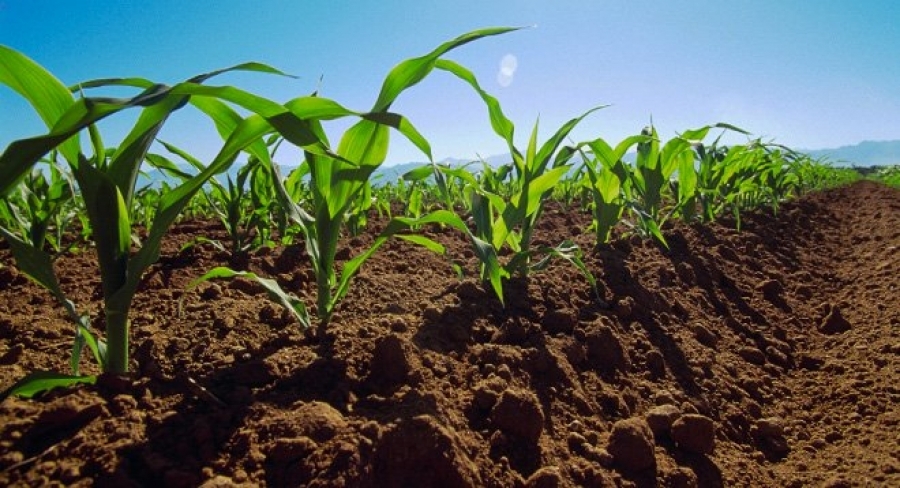
Mapeo Digital de Suelos is a representation of the spatial distribution of soil and its properties, and is based primarily on quantitative information ( field data and laboratory analyses) resulting from soil sample analyses that are relevant to agriculture, such as:
- Sand, silt and clay content, effective depth, organic matter, soil acidity (pH) and soil nutrients (potassium, phosphorus, magnesium, calcium, copper, zinc, iron, manganese, among others).
"We are building a program that is going to rescue agriculture and we are going to take our farmer out of the circle of poverty, we are going to dignify him", said, the Minister of Agriculture.

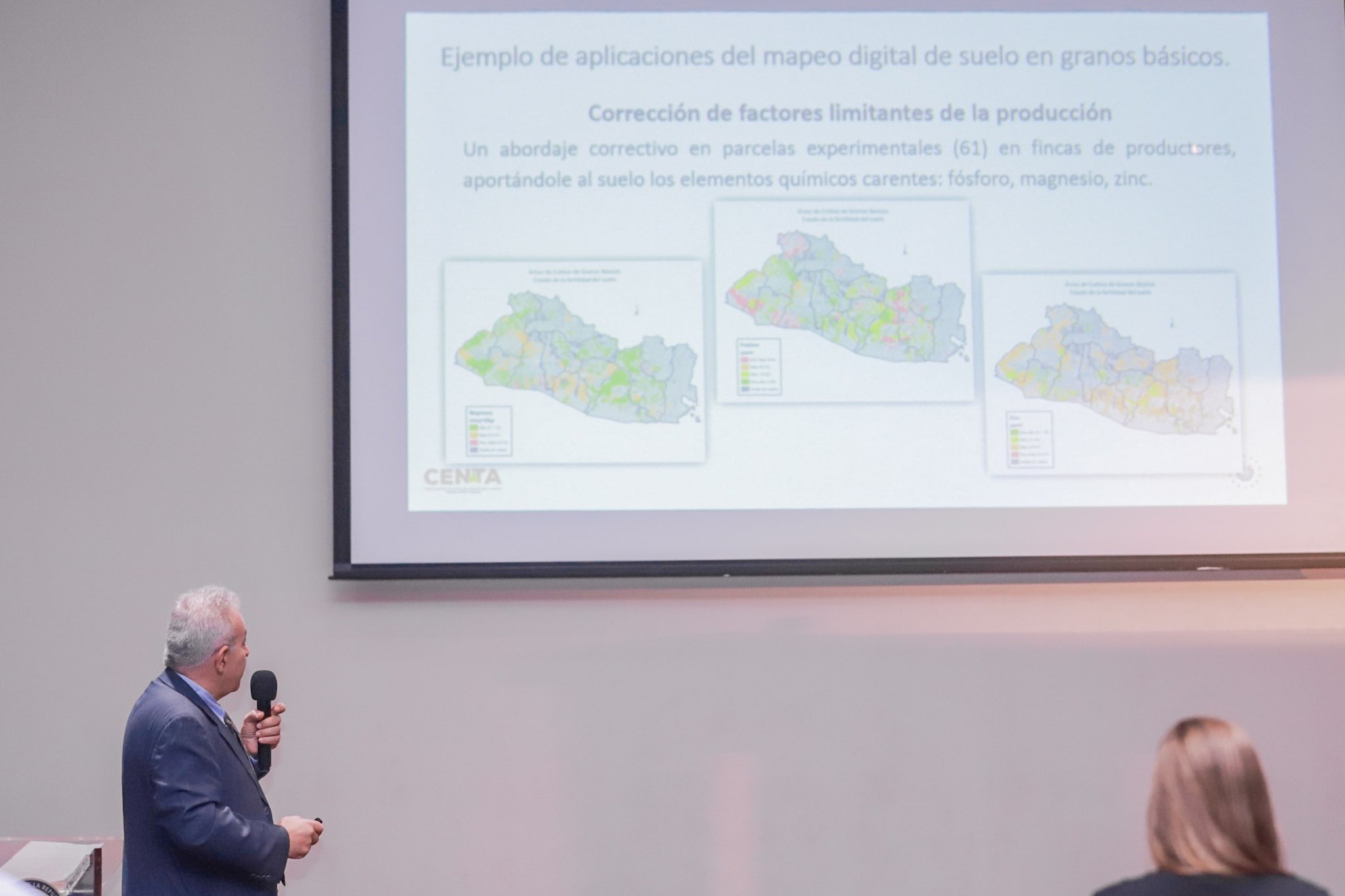
As part of the monitoring in agriculture, 19 maps have been generated containing information on chemical, biological, physical, biophysical properties, soil texture, erosion, degradation and potential areas for different crops and agroforestry systems.
"The new digital tool allows technical staff, extensionists and researchers to make field-level decisions on soil fertility. In addition, it is important to promote knowledge-based agriculture", said José Emilio Suadi, executive director of CENTA.

According to the experts, the maps are fed back based on a larger number of soil samples, which generates more accurate versions, and larger scales that make it possible to incorporate appropriate practices.
Once the results are available, the importance lies in the fact that they provide information to producers and governmental entities to make an adequate use of the soil, according to its properties, limitations or risks.
This new tool will be used to evaluate soils nationwide and make intelligent decisions to benefit the country's agricultural production.